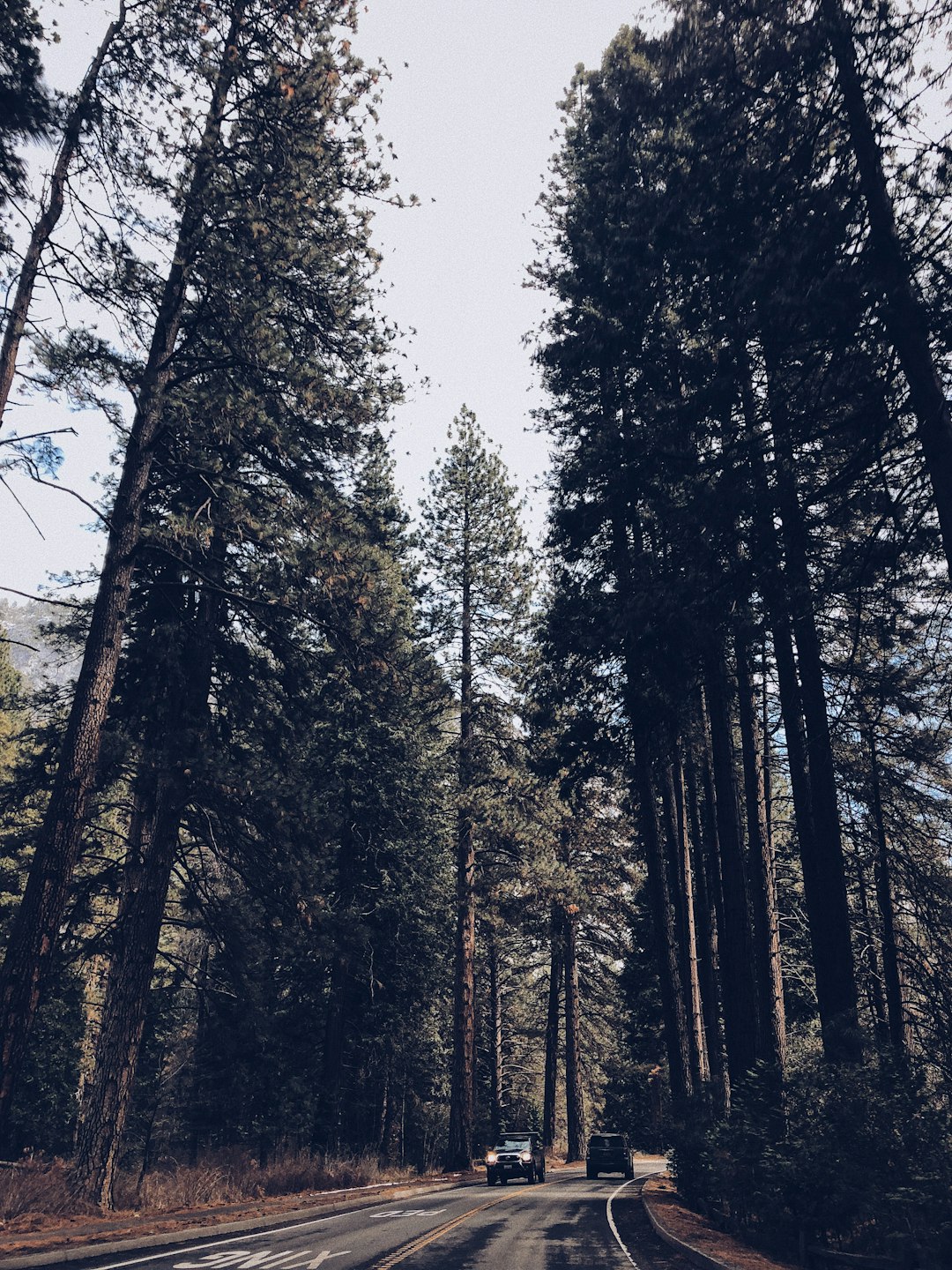
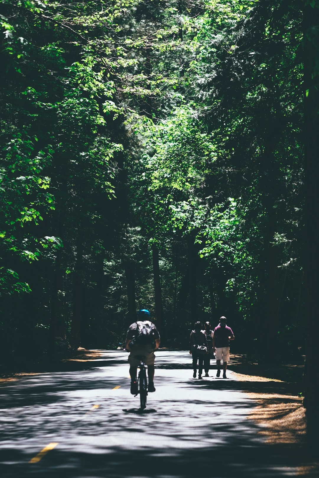
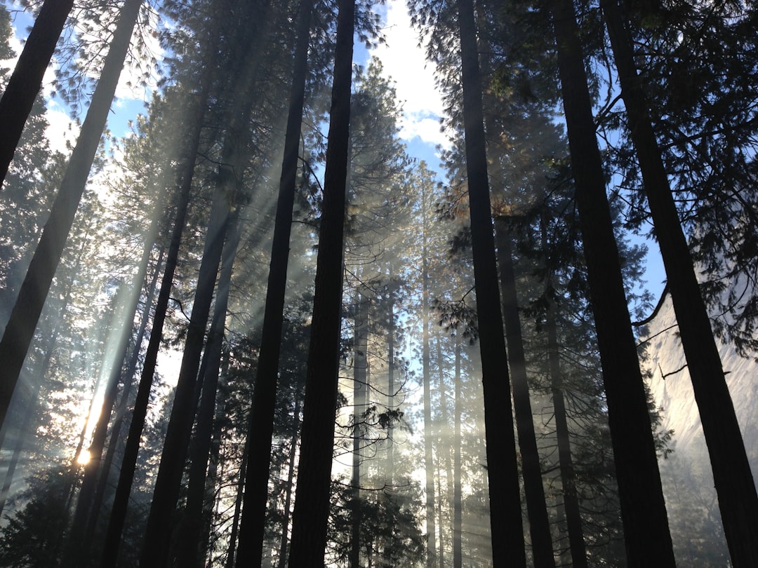
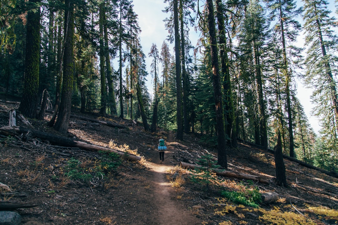
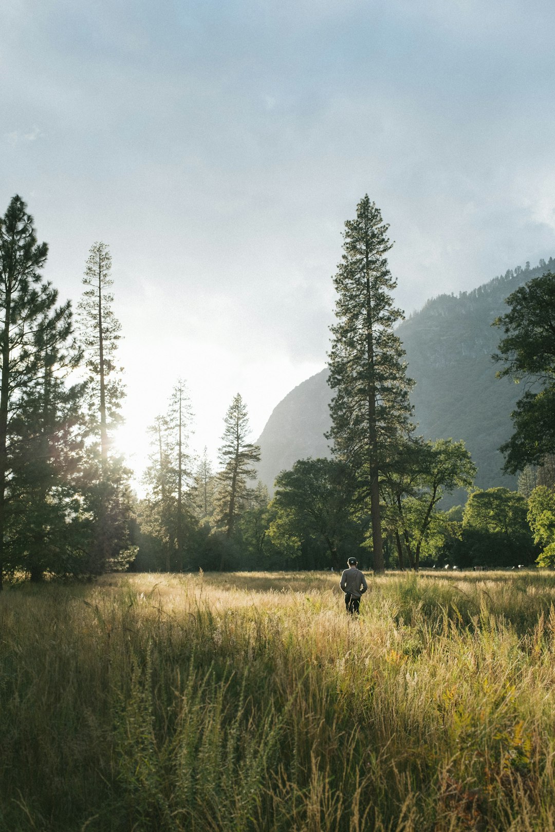
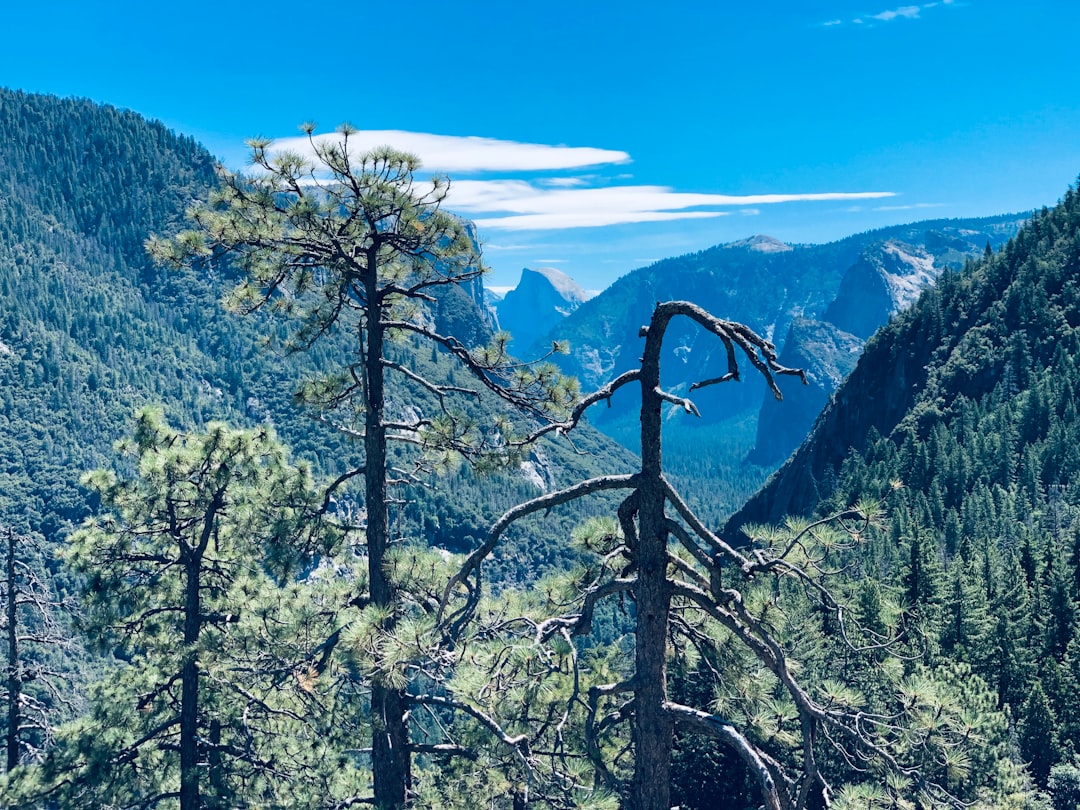
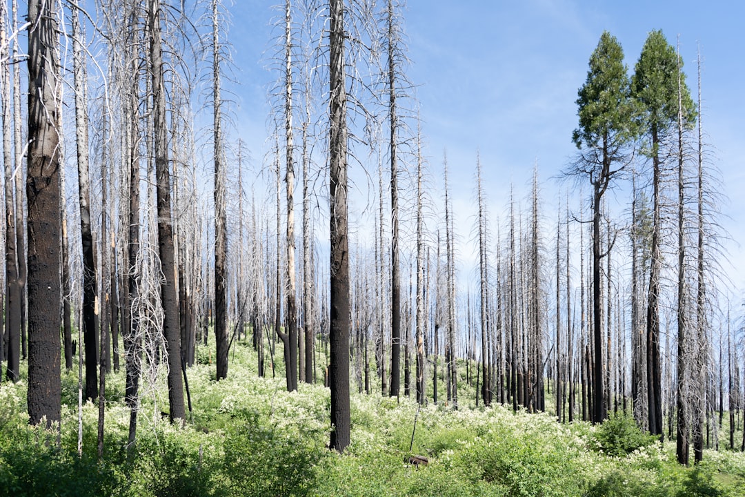
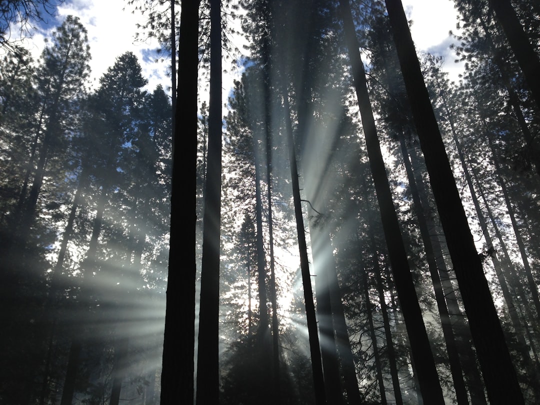
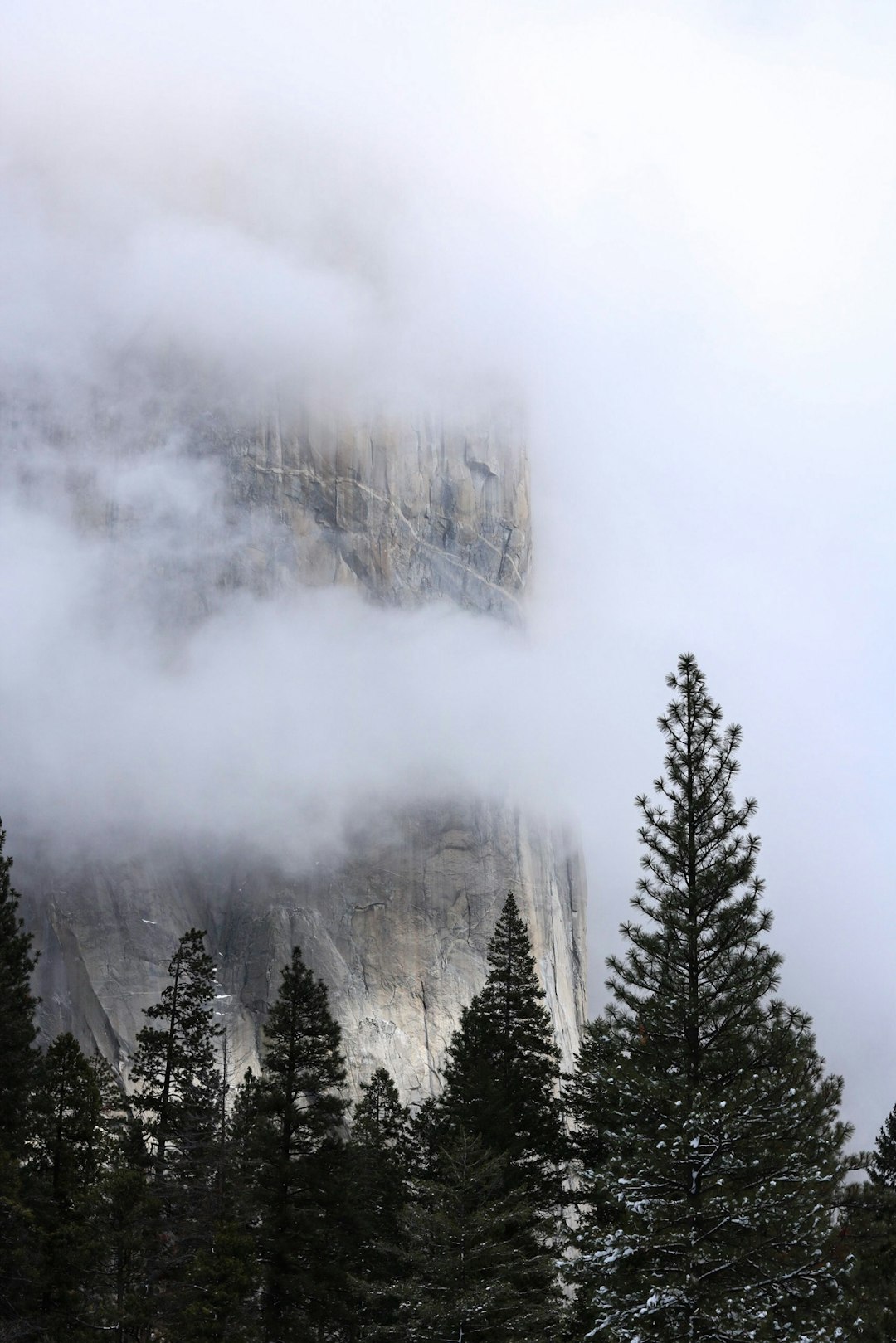
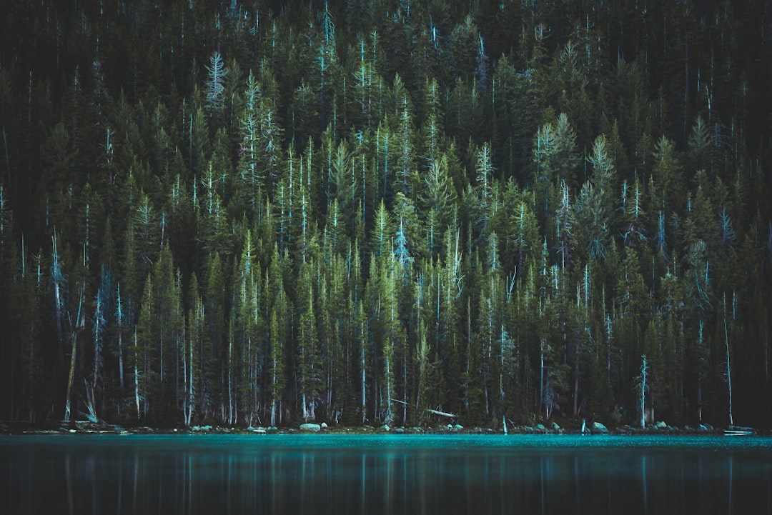
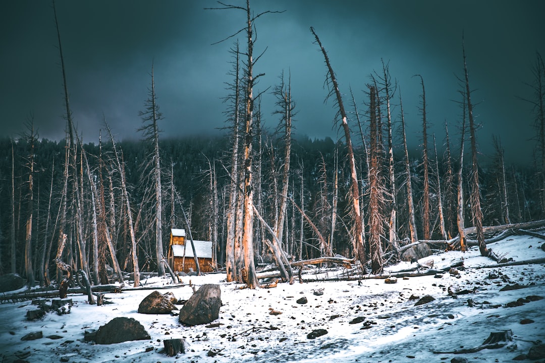
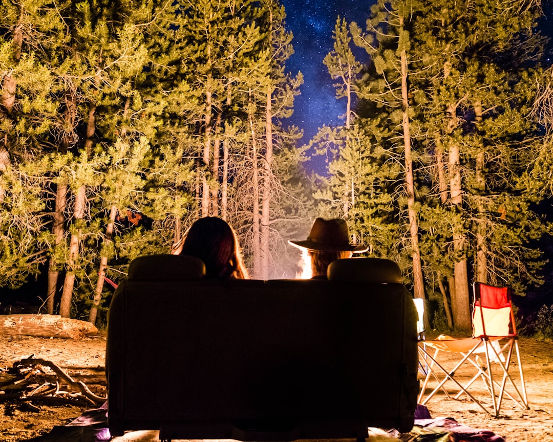
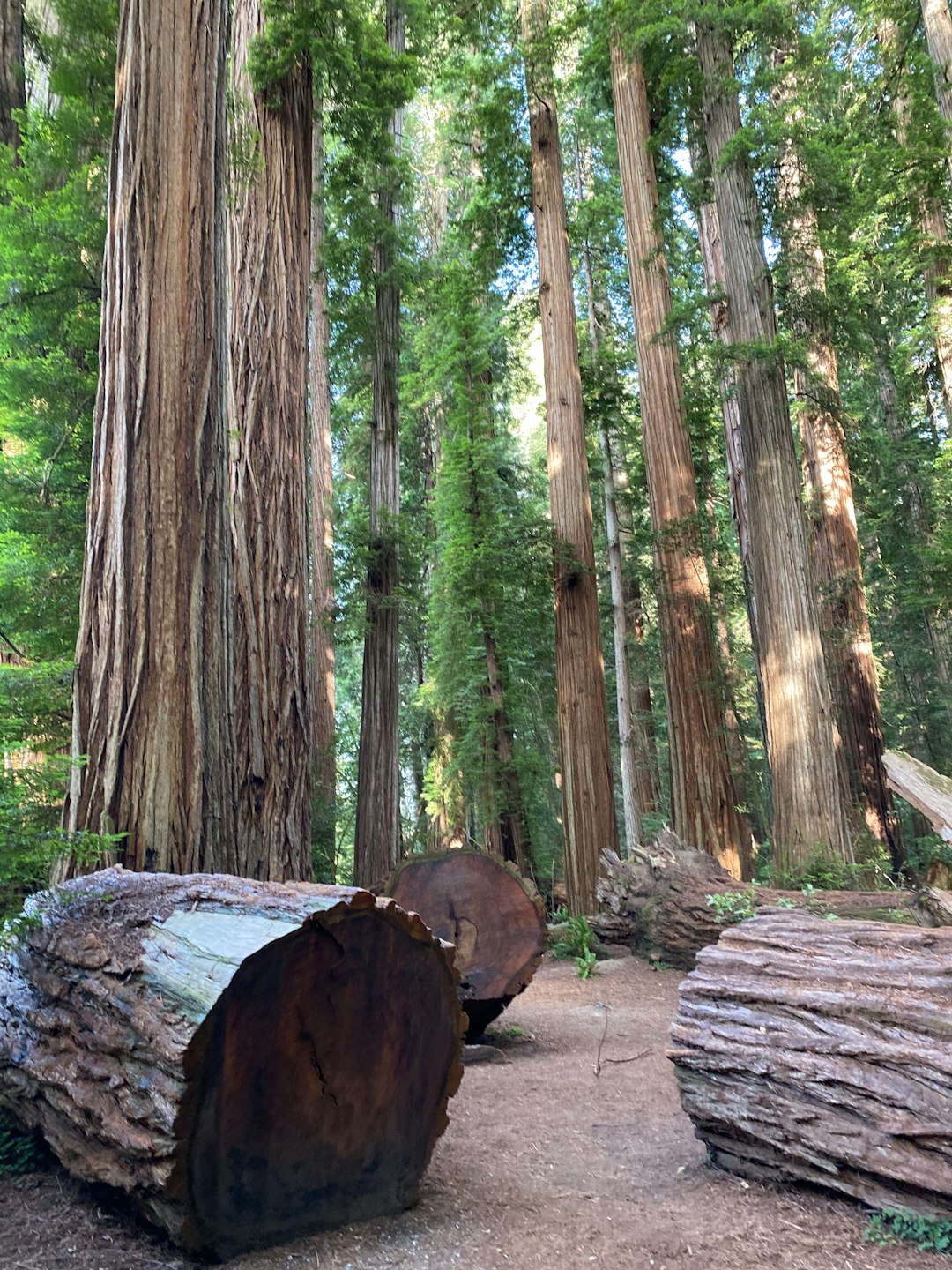
The Best Forest Photo Spots around Yosemite Falls in United States
Explore Forest pictures of Yosemite Falls with the travel spots on a map
12 Forest Spots of Yosemite Falls on a Map
Pictures of Forest on the interacive map of Yosemite Falls
Forest Spots and Pictures around Yosemite Falls
Discover popular destinations in Yosemite Falls with their travel guides
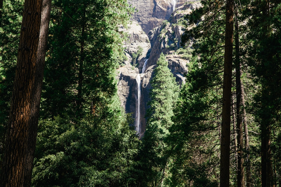
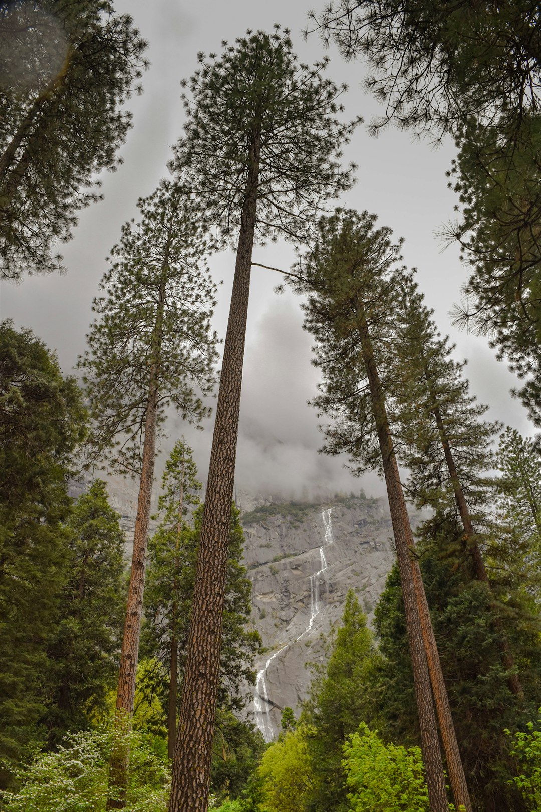
Yosemite Falls
Read the Travel guide View on Google Maps
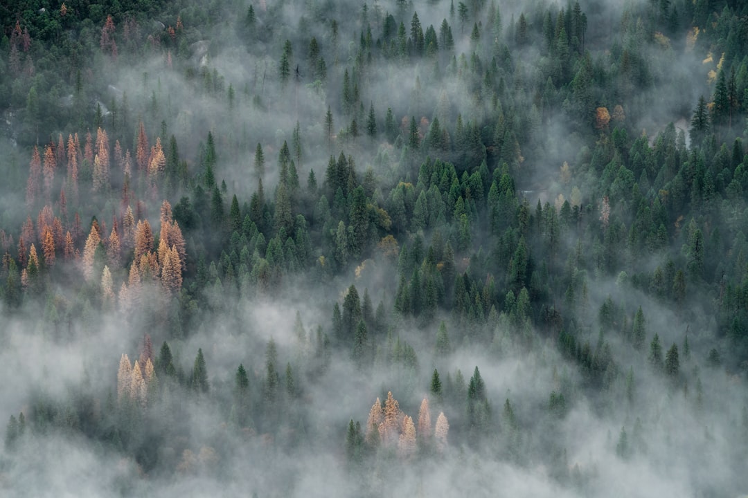
Yosemite Valley
1 km away from Yosemite Falls
Read the Travel guide View on Google Maps
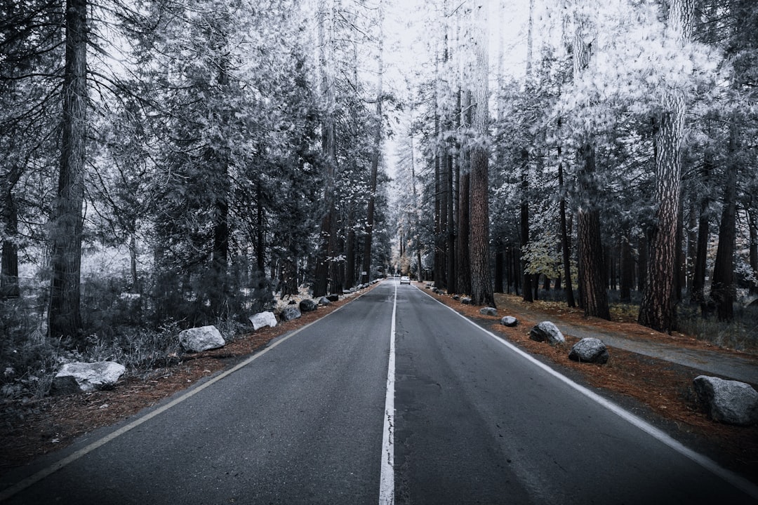
Yosemite National Park Road
3 km away from Yosemite Falls
Read the Travel guide View on Google Maps
Happy Isle Loop Rd
4 km away from Yosemite Falls
Read the Travel guide View on Google Maps
Taft Point
5 km away from Yosemite Falls
Read the Travel guide View on Google Maps
El Capitan Meadow
5 km away from Yosemite Falls
Read the Travel guide View on Google Maps
Wawona Rd
10 km away from Yosemite Falls
Read the Travel guide View on Google Maps
Yosemite National Park
13 km away from Yosemite Falls
Read the Travel guide View on Google Maps
Tenaya Lake
15 km away from Yosemite Falls
Read the Travel guide View on Google Maps
Mammoth Lakes
56 km away from Yosemite Falls
Read the Travel guide View on Google Maps
North Fork
59 km away from Yosemite Falls
Read the Travel guide View on Google Maps
California
92 km away from Yosemite Falls
Read the Travel guide View on Google Maps
Book your Travel Experience in Yosemite Falls
Discover the best tours and activities in Yosemite Falls and book your travel experience today with our booking partners
Learn More about Yosemite Falls
Find Hotels in Yosemite Falls
Discover the best hotels around Yosemite Falls, United States and book your stay today with our booking partner booking.com